As a follow-up to my December climb of Lascar, I climbed Cerro Toco last week. The 5604 m tall dormant / extinct volcano is slightly taller than Lascar, but the climb has about half the vertical gain, so it’s easier. As I’m currently working on a telescope situated on the slopes of Toco, the climb was somewhat obligatory. The mountain, and the telescopes on it, is located within the Parque Astronómico Atacama. Leaving from San Pedro de Atacama, one gets to the trailhead by taking the Paso Jama road (CH 27) towards Argentina. There is then a turnoff for an unpaved road just after kilometer 35, which takes one up the mountain to the trailhead, which is located just past Toco’s three cosmology experiments. The trail is easily visible from the road. Driving past the trailhead allows one to see Toco’s abandoned sulfur mine.
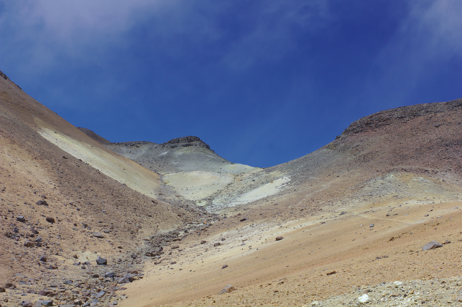
The trail to the summit is easy to discern. It does split in a few places, but as long as one keeps heading towards the summit, it is difficult to become lost.1 An elevation profile derived from my GPS track is below. It is approximately 1.7 km to the summit, with around 360 m of vertical gain (average grade of 22%). Round-trip, the climb took a little over two hours.
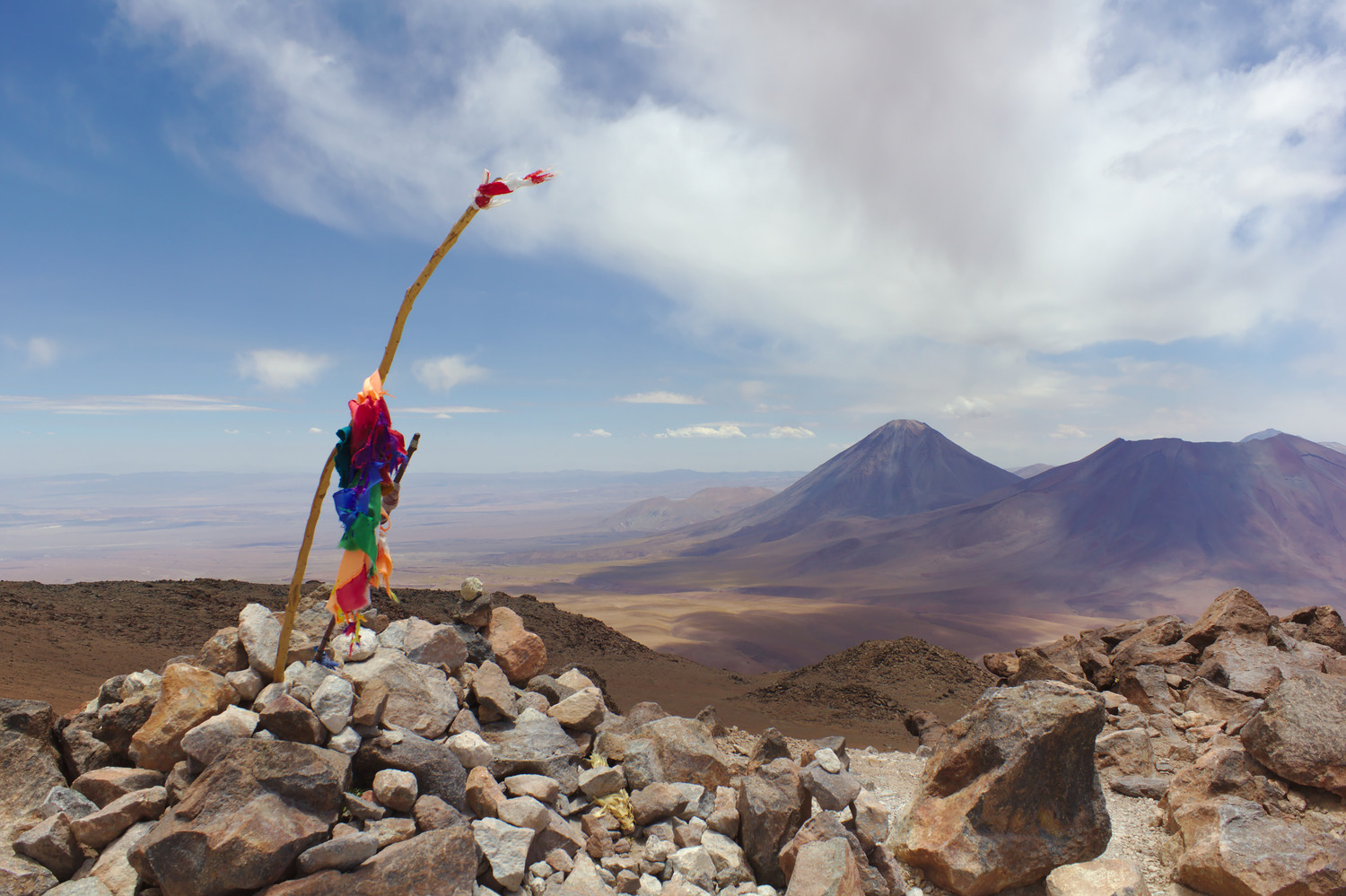
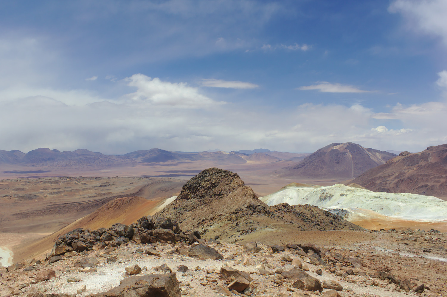
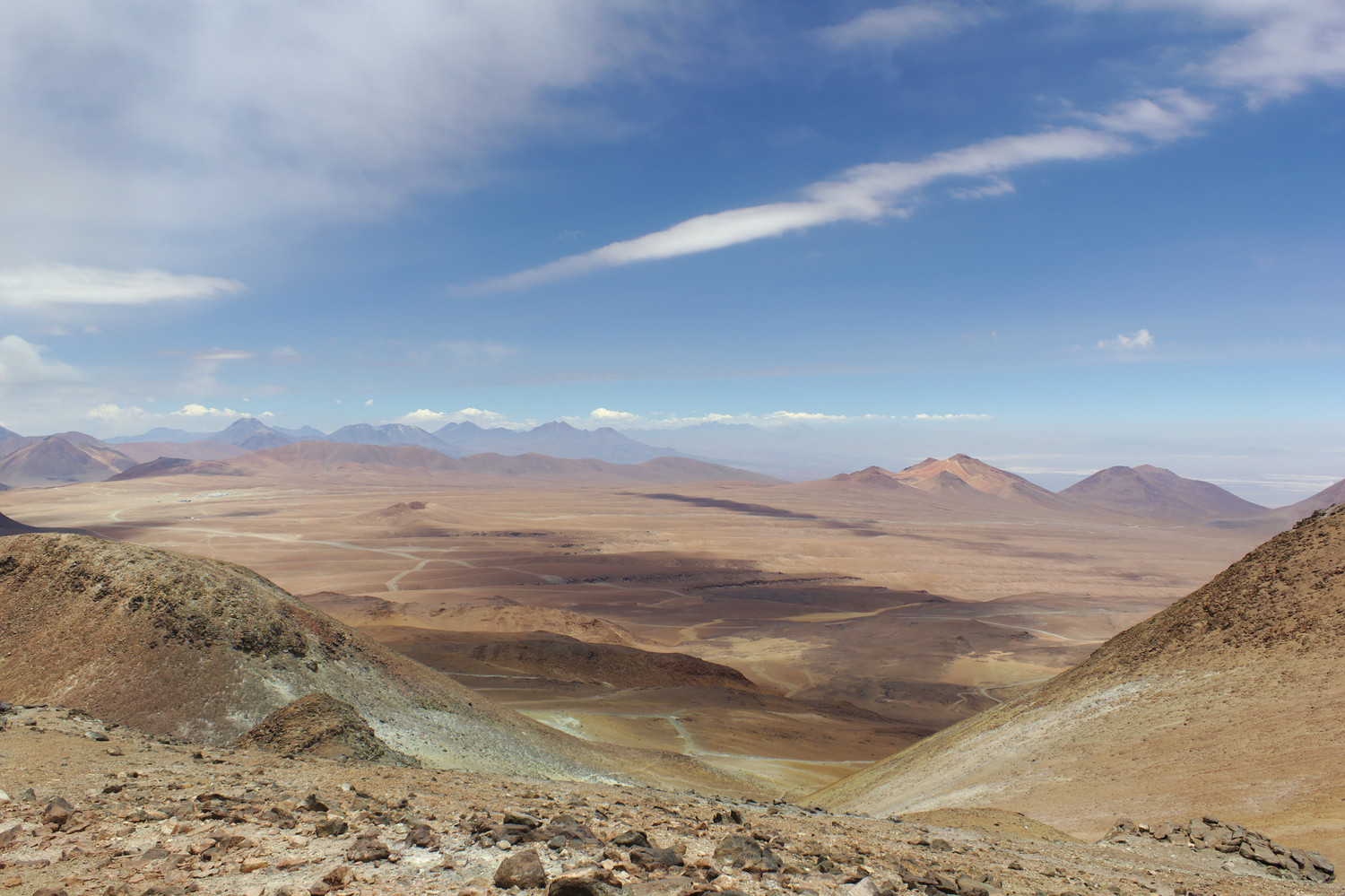
From the summit, one has an excellent view of Licancabur, Juriques, and Boliva to the north; Argentina to the east; and ALMA to the southwest.
There’s no vegetation to obstruct one’s view. ↩
Dear Matthew,
Thanks for clear instructions.
We will try to go there in April 2017.
Do we need 4-wheel-drive or can we make it with an ordinary car?
The same question about the visit of the telescopes around Toco?
Thanks for answers, best
Iztok, Slovenia
You’ll definitely need four wheel drive for both.
Hi Matthew – Thanks for the notes. If we only have time for one hike and we are physically fit (and will be acclimatized), which do you recommend for the best views – Lascar or Toco? Thank you!
The views from both mountains are excellent. Toco is closer to San Pedro and is an easier hike, but the drive to Lascar is much more scenic. Between driving to Lascar, climbing, and driving back, it takes most of a day, while the same can be done with Toco in a morning, so it really depends on how you want to plan things.
Thank you!!
I wonder if climbing Toco is possible in late June? What are the temperatures, and are there problems with snow and driving due to it?
That depends on whether or not you’re lucky; sometimes it’s fine, but sometimes it’s completely snowed out and inaccessible. The daytime high temperature is generally slightly below freezing.
Dear Matthew,
Thanks for putting this together it is very useful. I’ve been looking for some solid info on this region for a while. I have a couple of questions that I wonder if you had some thoughts on, if you don’t mind.
It seems from your blogs on both Toco and Lascar that guides are not necessary. As well as these two volcanoes I also plan to climb Licancabur and Sairecabur. Any idea on whether or not you need guides for those? I’ve read conflicting reports that guides are mandatory for Licancabur.
Weather – I will be in the SP region to do all this in the last 1.5 weeks of June. Do you have any experience with the weather at that time of year?
Thanks!
Wayne
While I’ve never climbed Licancabur, it’s my understanding that guides are required; it can also only be climbed from Bolivia. Sairecabur does not require guides (I’ve only been to the caldera rim, which has road access, not the summit).
The weather in town will probably be fine, but the weather on the mountains is a different story. If you’re lucky, it will just be extremely windy and cold. However, there’s generally at least one significant snow storm in June, after which most of the mountains will be inaccessible until September or October.
Thank you for responding; it’s very helpful to hear from someone who has been there. I think I’ll tag the Licancabur climb onto the end of a Salar de Uyuni trip and then head across to SP.
It is good to know that for the others, as well as, Moon valley, Death valley, Tatio geysers and hot springs etc. that I don’t need a guide and can just hire a 4×4. I’m not overly concerned by the wind or cold because I have appropriate clothing, but the snow would change this as I don’t have the gear for that. Fingers crossed.
The major problem with the snow is that it can make the climbs much, much longer, since the snow prevents one from driving as far up the mountains. For Toco, a major snow storm can foreseeably add at least 4 km of length and 500 m of vertical gain to the climb; even without snow, this could easily make the climb take three or four times as long.